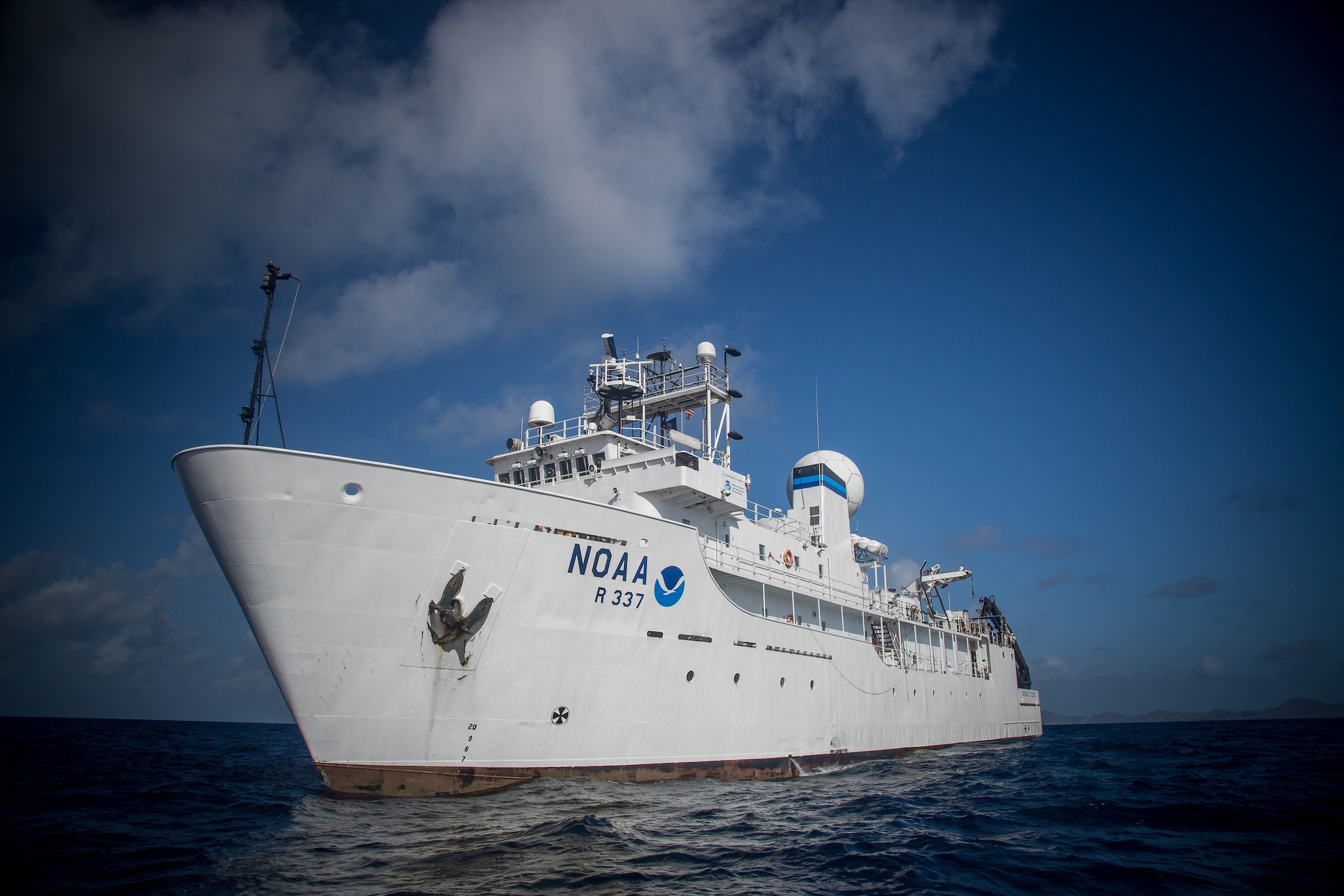
NOAA Ship Okeanos Explorer steams just off shore Puerto Rico as she makes her way to the Pacific for the rest of the 2015 field season. Image courtesy of the NOAA Office of Ocean Exploration and Research.
The Okeanos Explorer (OE) docked at our pier May 30 through June 3 giving me the opportunity to chat with a few of the scientists on board. The National Oceanic and Atmospheric Association (NOAA) ship is known as “America’s Ship for Ocean Exploration.” It’s the only federally funded U.S. ship assigned to systematically explore our largely unknown ocean for the purpose of discovery and the advancement of knowledge.

The Okeanos Explorer docked at Pier 15. (Amar Puri/Exploratorium)
“Every good explorer needs a good map,” said Lindsay McKenna, Mapping Team Lead and Acting Expedition Coordinator. Without one, you wouldn’t know where to go or what to look for. If you look at Google Earth and zoom way out, the oceans appear mapped. You see valleys, features, the continental shelf, etc. But the features we see there are mapped at a density of one feature per square kilometer. That means for every square kilometer, we have a single piece of data. Translation: we’re missing a lot of information, and Lindsay’s job is to help fill that gap.
As a mapping team lead, Lindsay is responsible for collecting and publishing data that has implications for conservation management, future research, and exploration. Using a sonar system, the ship send pulses of sound and analyzes the return signals to create an image of the ocean terrain. After gathering sufficient mapping data, she publishes it and sends a message to a shore-based science team to interpret and analyze the map her team creates.

This knoll is located on the flank of a larger seamount in the eastern Pacific Ocean about 200 miles off the Costa Rican coast in 2,500 meters of water. Image courtesy of the NOAA Office of Ocean Exploration and Research, Tropical Exploration 2015.
The maps are used to guide the ship’s ROV (Remotely Operated Vehicle) expeditions by helping identify geological features and terrain that may lead to interesting, rich findings. One of the main goals is to locate specific features that affect currents. By understanding the topography, explorers can locate environments where filter feeding sea floor animals live. Many rare and unidentified creatures await, lurking in the deep. Stay tuned for the next blog entry about the Okeanos Explorer’s ROV missions.